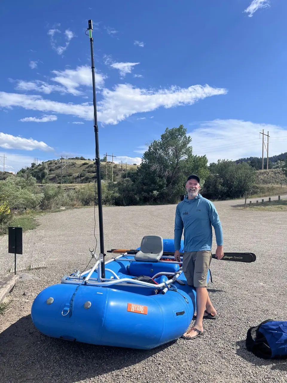
July 2025 · Lewis & Clark National Historic Trail
The road between the route points.
Field photographs from Terrain360 capture work across Montana and North Dakota, July 29, 2025 to August 3, 2025.
- Photos + clips
- 200
- Scene links
- 141
Terrain360 field notes
Candid photographs made while our crews map trails, rivers, parks, and wild places—before those routes become published Terrain360 maps and 360° scenes.
Featured from the field
Ordinary field photos preserve the weather, access, equipment, and human work surrounding each finished route.
July 2025 · Lewis & Clark National Historic Trail
Field photographs from Terrain360 capture work across Montana and North Dakota, July 29, 2025 to August 3, 2025.
Archive index
Browse capture-day photographs, then follow matched locations into the finished Terrain360 experience.
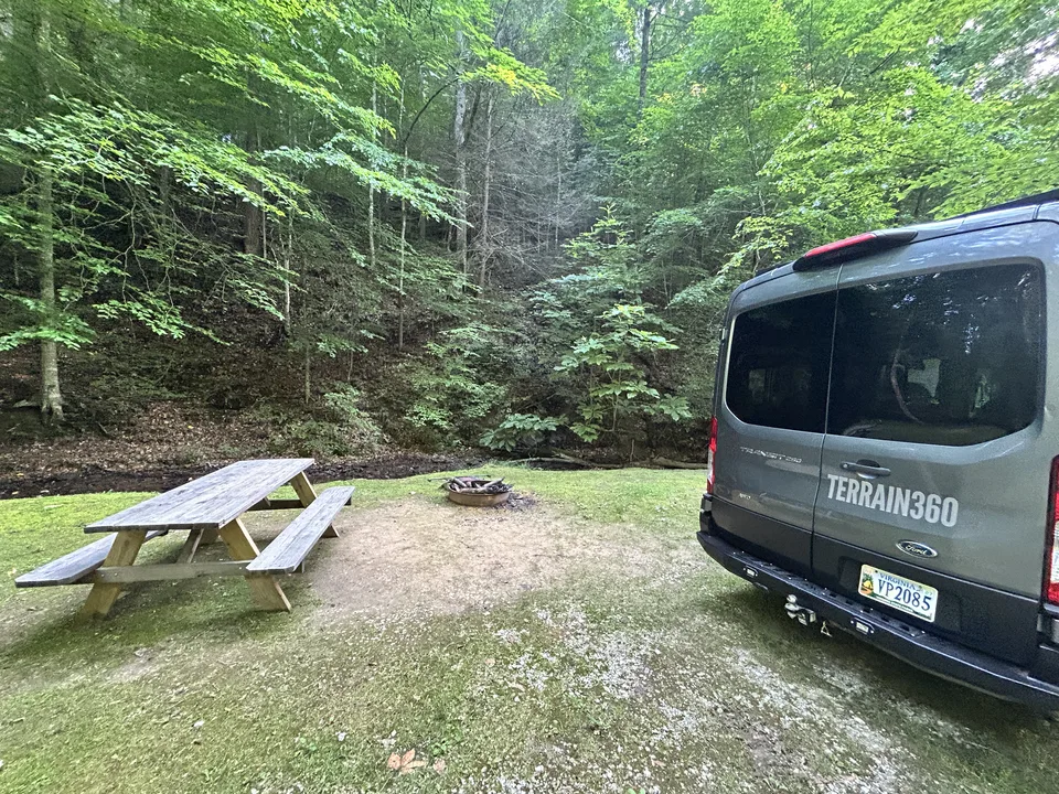
11 states · National historic trail
Field photographs from 58 Terrain360 capture days across 11 states, July 23, 2021 to September 9, 2026.
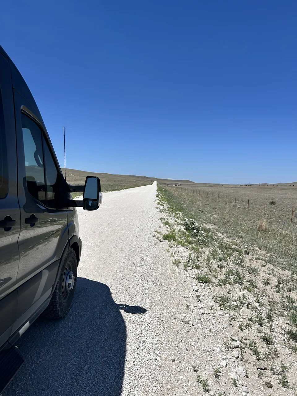
Nebraska · National monument
Field photographs from 1 Terrain360 capture day across Nebraska and Wyoming, July 5, 2026.
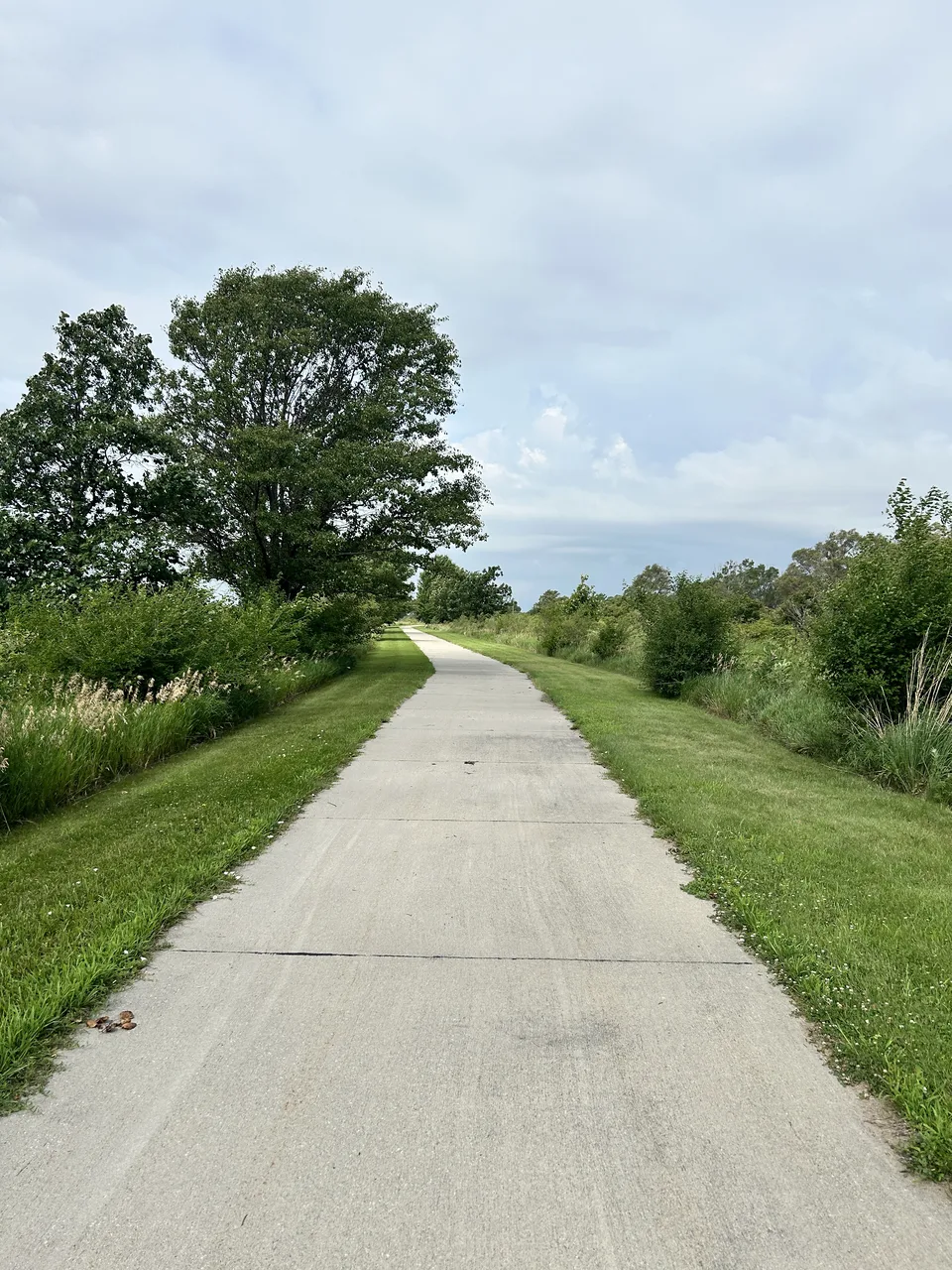
Nebraska · Rail trail
Field photographs from 1 Terrain360 capture day in Nebraska, July 4, 2026.
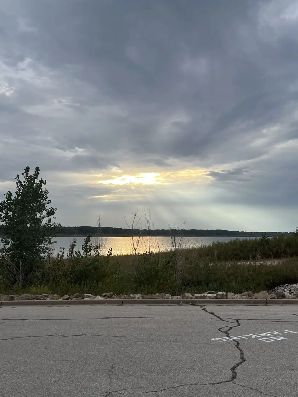
Iowa · River route
Field photographs from 7 Terrain360 capture days in Iowa, September 16, 2025 to September 26, 2025.
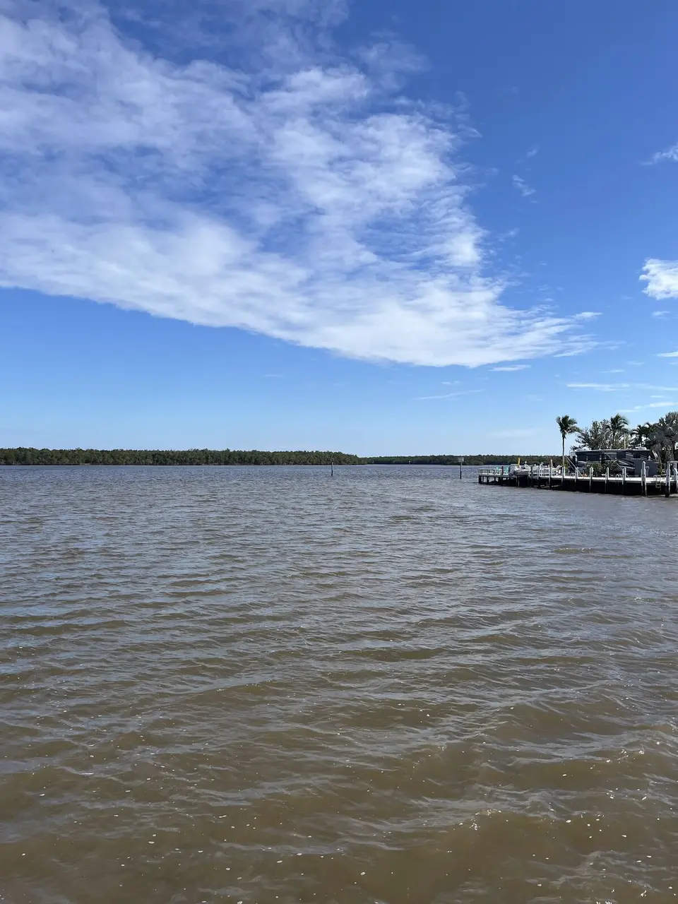
Florida · National park
Field photographs from 5 Terrain360 capture days in Florida, January 12, 2025 to January 16, 2025.
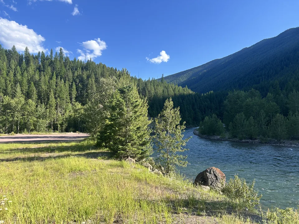
Montana · River access
Field photographs from 2 Terrain360 capture days on the Flathead River and its Middle Fork, Flathead County, Montana, July 7 to July 8, 2026.
Florida · Cross-state trail
Field photographs from 3 Terrain360 capture days in Florida, August 7, 2026 to August 9, 2026.
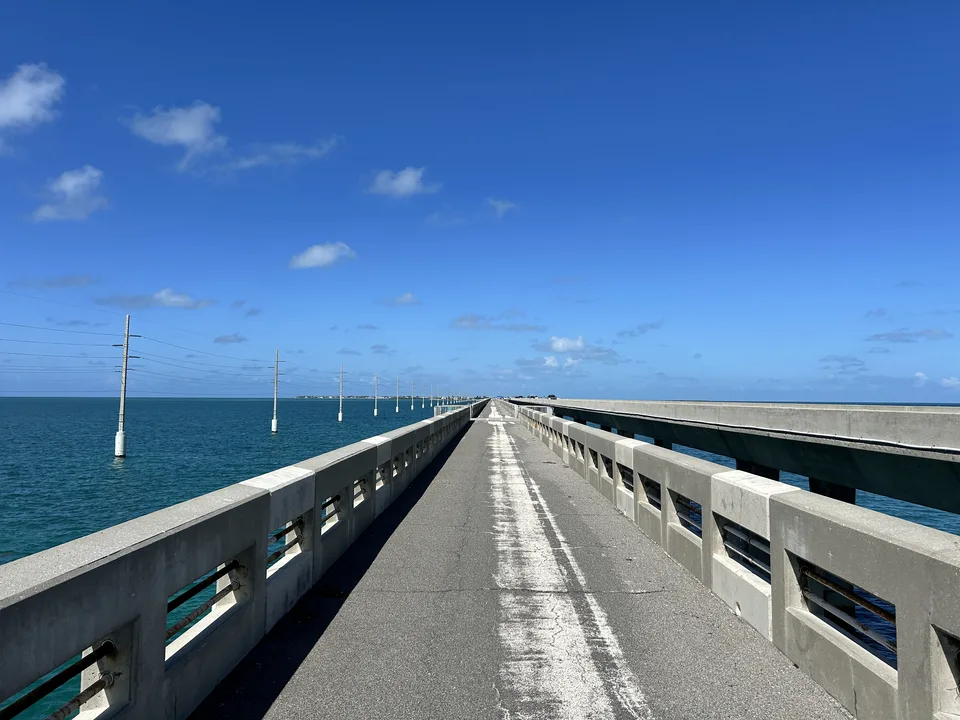
Florida Keys · Rail trail
Field photographs from 2 Terrain360 capture days in Florida, August 11, 2026 to August 12, 2026.
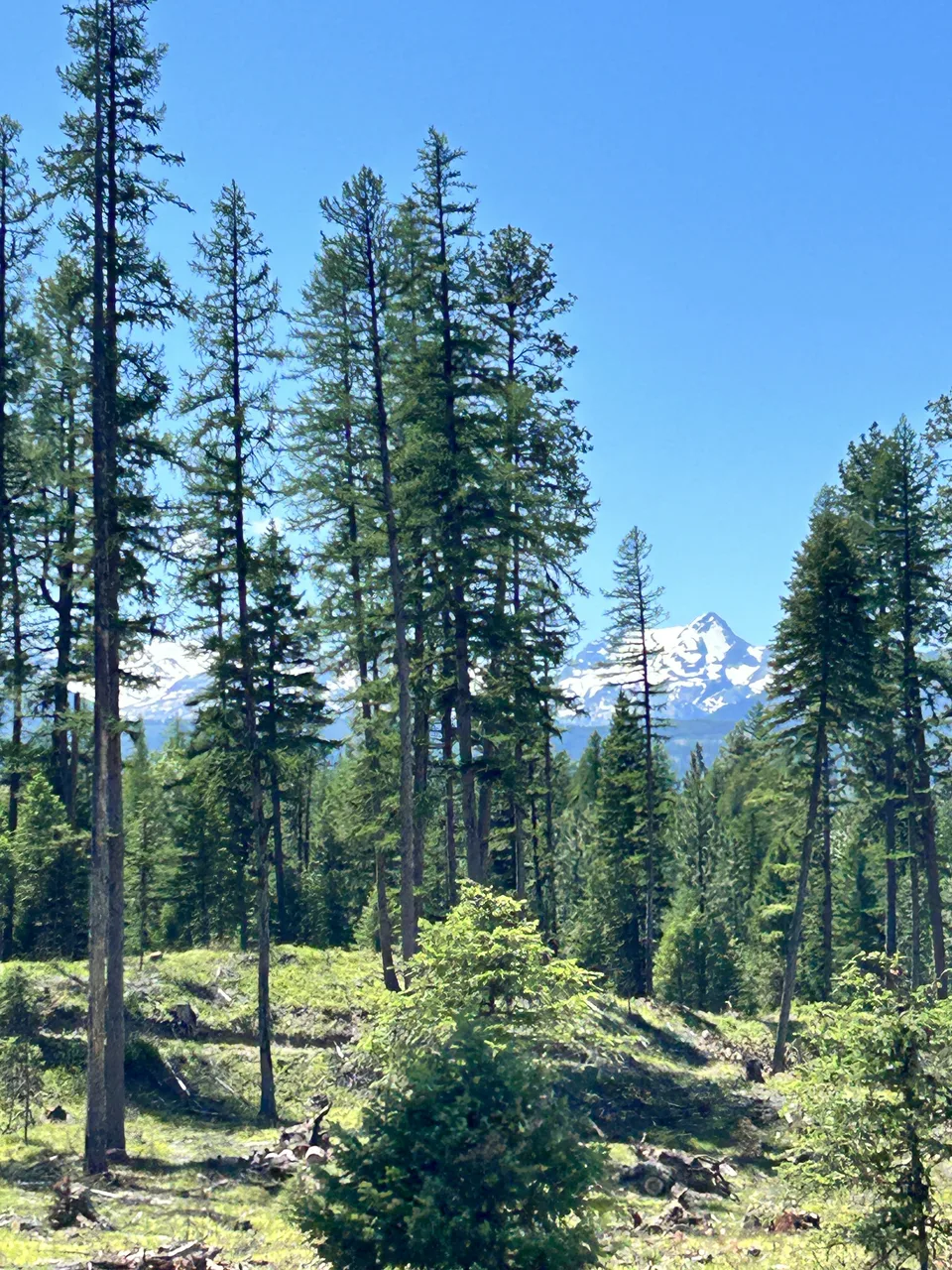
Montana · National park
Field photographs from 2 Terrain360 capture days around Lake McDonald and McDonald Creek in Glacier National Park, Montana, July 7 to July 8, 2026.
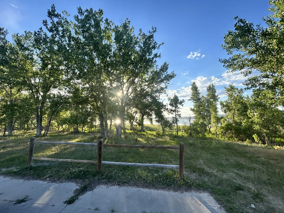
Wyoming · State park
Field photographs from 1 Terrain360 capture day in Wyoming, July 5, 2026.
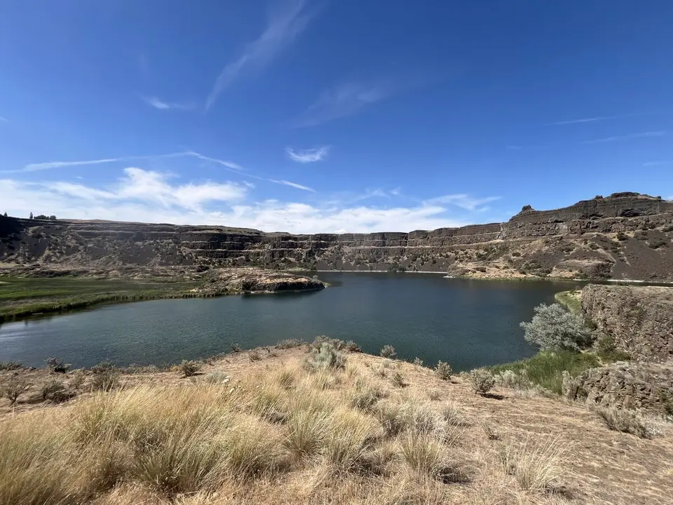
Pacific Northwest · Geologic trail
Field photographs from 1 Terrain360 capture day in Washington, July 1, 2025.
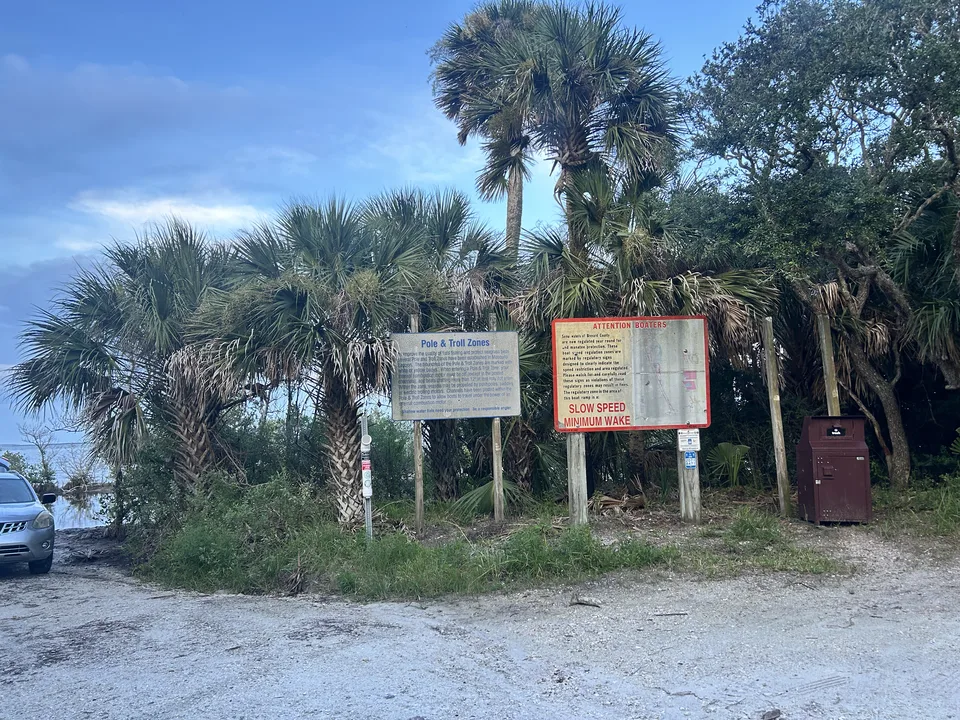
Florida · Waterway
Field photographs from 2 Terrain360 capture days in Florida, August 8, 2026 to August 9, 2026.
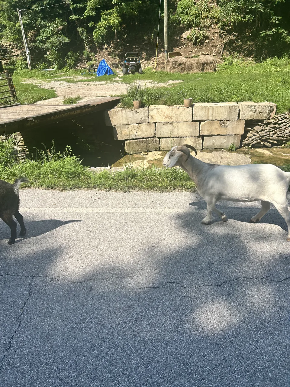
Kentucky · River route
Field photographs from 1 Terrain360 capture day in Kentucky, July 2, 2026.

Florida · Scenic trail
Field photographs from 2 Terrain360 capture days in Florida, August 9, 2026 to August 10, 2026.
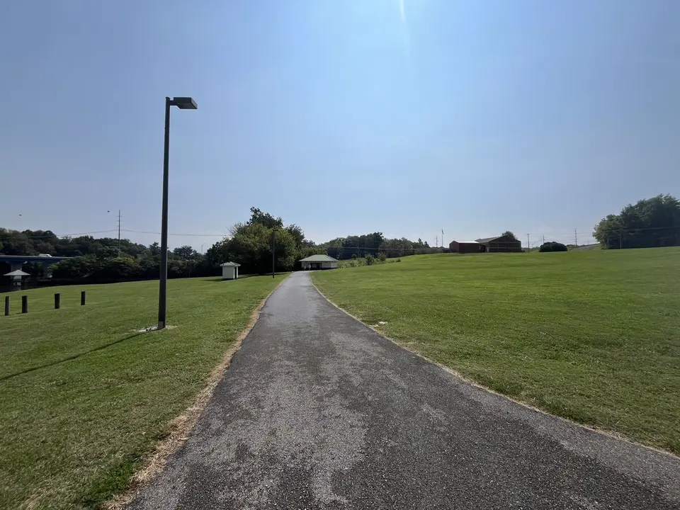
Southeast · National historic trail
Field photographs from 8 Terrain360 capture days across Tennessee, North Carolina and Virginia, September 4, 2025 to September 11, 2025.
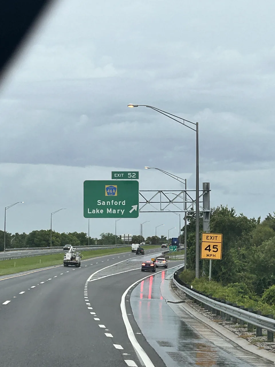
Florida · Trail network
Field photographs from 2 Terrain360 capture days in Florida, August 6, 2026 to August 7, 2026.

Virginia · Island community
Field photographs from 7 Terrain360 capture days across Virginia and Maryland, May 14, 2020 to August 25, 2020.
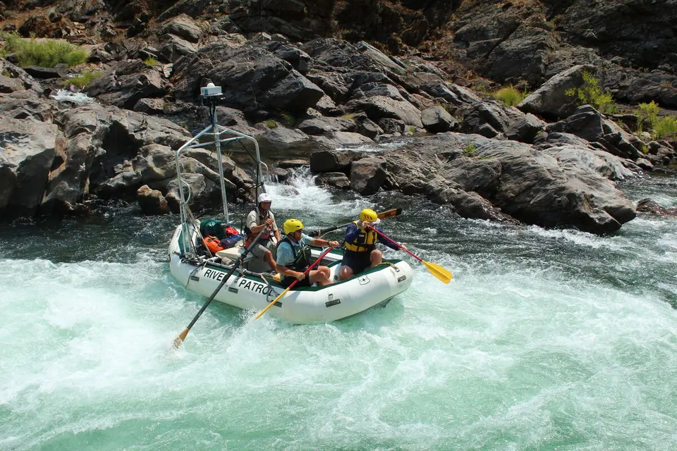
California · Wild river
Field photographs from 5 Terrain360 capture days in California, July 6, 2021 to August 7, 2021.
No projects match that search.
From field photo to published scene
When a field photo has location data, it can point directly to the nearby Terrain360 scene.
An iPhone photo or clip records the crew, access point, conditions, or equipment.
Timestamp and GPS data are compared with Terrain360 capture routes and scenes.
A durable link carries the viewer from the field note into the published scene.
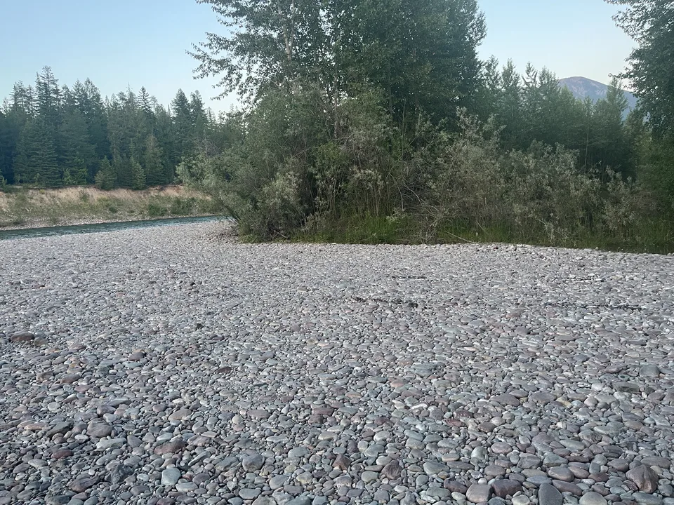
Published connection
The archive supplies the human context. Terrain360 supplies the navigable, eye-level scene.
See a matched sceneGeographic overview
Orange points mark field galleries. Blue centers identify galleries connected to published 360° scenes.